On a recent industrial site near the Mississippi River, we observed a 15-meter slope that had been stable for years but started showing tension cracks after a wet spring. That kind of slow failure is exactly why our team runs monthly geotechnical slope monitoring in Baton Rouge. The city sits on soft alluvial deposits with high plasticity clays, and seasonal river stage changes can trigger gradual movement. We install inclinometers and piezometers, then return every 30 days to log readings and compare them against the baseline. If rates exceed 5 mm per month, we trigger an alert and recommend stabilization measures. Before setting up the monitoring grid, we often run a MASW-Vs30 survey to map stiffness contrasts across the slope profile. This monthly cycle catches problems early, before they turn into emergency repairs.
We measure horizontal displacement to ±0.5 mm resolution and correlate movement with rainfall events to catch failure before it accelerates.
Method and coverage
- We measure horizontal displacement to ±0.5 mm resolution
- Pore pressure data helps correlate movement with rainfall events
- Surface crack mapping documents tension zones before they widen
Regional considerations
Baton Rouge grew rapidly along the Mississippi floodplain, and many older developments cut into natural levees without adequate drainage. The city has seen slope failures in residential subdivisions and along drainage canals, especially after hurricanes. Monthly geotechnical slope monitoring is essential here because the underlying soils — clayey silts and organic clays — lose strength when saturated. Without regular readings, a slow creep of 2 mm per month can accelerate to 20 mm after one heavy storm. We have documented cases where early detection of 4 mm of movement saved owners from full slope reconstruction.
Standards that apply
ASCE 7-16 minimum design loads for slope monitoring triggers, IBC Chapter 18 for excavation and slope inspection requirements, ASTM D6230-21 standard for inclinometer calibration
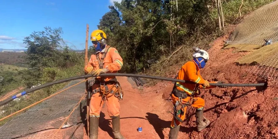
Associated technical services
Inclinometer Surveys
We install manual inclinometer casings to depths of 15-25 m and take monthly readings to track horizontal displacement vectors. Data is plotted against depth to identify shear zones.
Piezometer Monitoring
Vibrating wire piezometers record pore pressure at multiple depths. Automated loggers transmit data daily, and our team reviews trends during each monthly visit.
Surface Crack Mapping
We document tension crack locations, widths, and lengths with digital calipers and GPS. Changes in crack geometry between visits are correlated with rainfall and stage data.
This service complements our laboratory testing work for a complete project analysis.
Typical parameters
Common questions
How much does monthly geotechnical slope monitoring cost in Baton Rouge?
For a typical slope with 3-5 inclinometers and 2-4 piezometers, monthly monitoring runs between US$470 and US$1,090 per visit. This includes field readings, data reduction, and a written report. Larger sites with automated loggers may be at the higher end.
What triggers an alert during monthly monitoring?
We issue an alert if horizontal displacement exceeds 5 mm in a month, if the displacement rate accelerates compared to the previous three readings, or if pore pressure rises more than 20% above baseline. The alert includes a preliminary assessment and recommended follow-up.
Can monthly monitoring replace a full slope stability analysis?
No. Monitoring tracks movement and pore pressure, but it does not calculate the factor of safety. We recommend an initial stability analysis using limit equilibrium or finite element methods, then use monitoring to validate assumptions and detect changes.
How long should monitoring continue after slope stabilization?
We typically recommend at least 12 months of monthly readings after stabilization construction to confirm that movement has stopped. If readings remain stable for 6 consecutive months, we can reduce to quarterly visits.