Baton Rouge sits along the lower Mississippi River, where the combination of high annual rainfall and silty-clay alluvial soils creates persistent erosion challenges for any construction project. Unlike drier regions where erosion is a slow process, here a single afternoon thunderstorm can wash away unprotected topsoil and undermine freshly graded slopes. That is why a thorough soil erosion analysis before breaking ground is not just a regulatory box to tick — it is a practical necessity to avoid costly rework and environmental fines. Our team evaluates runoff patterns, soil erodibility factors (K-factor), and drainage conditions specific to your site, so you know exactly what sediment control measures will be effective. We often complement this assessment with a detailed permeability field test to measure infiltration rates directly on the Baton Rouge soil, which is critical for designing detention basins and silt fences that actually work in these heavy clays.
A single thunderstorm in Baton Rouge can wash away unprotected topsoil and undermine freshly graded slopes without proper erosion analysis.
Method and coverage
Regional considerations
In Baton Rouge, many construction managers underestimate how quickly the alluvial silt-loam topsoil erodes once the vegetation is stripped. A typical scenario: the grading contractor clears a 2-hectare pad in November, leaves it bare over the winter rainy season, and by February a 30-cm deep gully has formed along the property line — requiring extra fill and re-compaction that was never budgeted for. The real concern is not just the lost soil volume but the sediment entering the stormwater system, which triggers LDEQ compliance violations and project stop-work orders. We have seen projects delayed three to four months because the erosion control plan was generic and did not account for Baton Rouge's specific soil texture and 1500 mm annual rainfall. Our analysis identifies those high-risk zones early, so you can install targeted controls like check dams or hydroseeding before the first heavy storm.
Standards that apply
ASTM D422 (particle size analysis), ASTM D698 (Proctor compaction), USLE / RUSLE2 methodology, LDEQ Stormwater General Permit (LAR100000)
Associated technical services
Field Erosion Risk Survey
On-site walkover to map existing rills, gullies, and concentrated flow paths. We document slope angles, soil exposure, and drainage patterns using GPS-tagged photos and field notes.
Soil Erodibility Lab Testing
Determination of K-factor based on grain size, organic matter, and permeability. We follow ASTM D422 and loss-on-ignition methods to deliver accurate RUSLE2 input parameters.
Sediment Yield Estimate
Quantitative prediction of soil loss in tons per hectare per year using local rainfall records and your site's slope-length factor. Provides defensible numbers for permit applications.
Erosion Control Plan Review
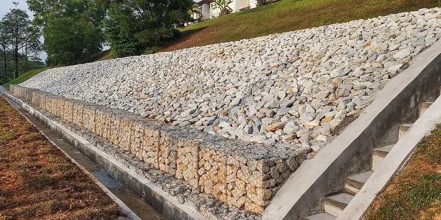
Review of your proposed BMPs — silt fences, sediment basins, hydroseeding — against our field data. We flag under-designed measures before they fail during a heavy rain event.
Typical parameters
Common questions
How long does a soil erosion analysis take in Baton Rouge?
A standard erosion analysis for a residential or small commercial site typically takes 5 to 7 business days from the field visit to the final report. Larger tracts with multiple drainage basins may require 10 to 12 days. We prioritize sites that are on a tight pre-construction schedule.
What is the difference between soil erosion analysis and a geotechnical investigation?
A geotechnical investigation focuses on bearing capacity, settlement, and soil strength for foundation design. Soil erosion analysis specifically evaluates how rainfall and runoff will detach and transport soil particles on exposed surfaces. For Baton Rouge projects, both are often needed — the erosion analysis informs sediment control measures while the geotech supports the structural design.
Does Baton Rouge have specific regulations for erosion control on construction sites?
Yes. Any construction activity disturbing one acre or more must obtain LDEQ permit LAR100000, which requires a Stormwater Pollution Prevention Plan (SWPPP) with erosion and sediment controls designed by a qualified professional. Our analysis provides the site-specific soil data and sediment yield estimates needed to comply with that permit and pass LDEQ inspections.