The Mississippi River floodplain gives Baton Rouge a complex subsurface. Soft clays and silts extend over 30 meters in some areas, with the water table sitting just 1 to 3 meters below grade. This combination creates persistent instability in natural slopes and man-made embankments. We apply limit equilibrium and finite element methods to assess factor of safety under static and seismic conditions. Before any slope stability analysis, we always verify soil stratification through a study of mechanics of soils to capture layering and weak zones. The interaction between pore pressure buildup during heavy rains and the low shear strength of the Holocene deposits is a recurring challenge here.
Soft Holocene clays and heterogeneous fills make Baton Rouge slopes highly sensitive to pore pressure changes; a 1-meter rise in water table can drop the factor of safety by 0.4.
Method and coverage
Regional considerations
Baton Rouge sits at an elevation of only 14 to 20 meters above sea level. The city has experienced multiple levee failures and slope slides during prolonged rainfall events. In 2016, a 500-year flood event saturated the entire soil profile, triggering shallow failures along the Comite River and drainage canals. The risk is compounded by the presence of liquefiable sands at depths of 5 to 12 meters. Our slope stability analysis models rapid drawdown scenarios for levee faces and applies the NCEER (Youd-Idriss 2001) method to evaluate post-earthquake stability. We also use drainage geotechnics to design relief wells and horizontal drains, reducing pore pressures before they reach critical levels.
Standards that apply
FHWA-NHI-05-088 (Slope Stability Reference Guide), ASCE 7-22 (Minimum Design Loads for Buildings and Other Structures), ASTM D3080-18 (Direct Shear Test of Soils), IBC 2021 (Chapter 18 – Soils and Foundations)
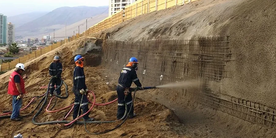
Associated technical services
Limit Equilibrium Analysis
We apply Spencer's and Morgenstern-Price methods to evaluate circular and non-circular slip surfaces. Each analysis accounts for stratigraphy, water table fluctuations, and surcharge loads typical of Baton Rouge projects. Output includes factor of safety, critical slip surface location, and sensitivity to strength parameters.
Finite Element & Seismic Slope Stability
Using PLAXIS and FLAC, we model stress-strain behavior under static and dynamic loading. For seismic cases, we incorporate site-specific response spectra and pore pressure generation models. This service is essential for levees and embankments near the Baton Rouge fault zone or in areas with soft clay foundations.
Typical parameters
Common questions
What is the typical factor of safety required for slope stability in Baton Rouge?
For permanent cuts and fills in Baton Rouge, we target a factor of safety of 1.5 under static conditions and 1.1 under seismic loading per IBC 2021. Temporary excavations may use 1.3 static. These values increase if the slope is near structures or drainage channels.
How does the high water table in Baton Rouge affect slope stability analysis?
The water table at 1–3 meters depth reduces effective stress in the soil, lowering shear strength. We model worst-case scenarios with the water table at the surface after heavy rain. Pore pressure ratios (ru) of 0.2 to 0.5 are common, which can reduce the factor of safety by 30 percent or more.
What is the cost range for a slope stability analysis in Baton Rouge?
The cost typically ranges between US$1.280 and US$4.670, depending on slope complexity, number of cross-sections, and whether seismic analysis is required. A standard residential cut with two sections and basic water table data falls at the lower end; a levee or embankment with multiple scenarios is at the higher end.